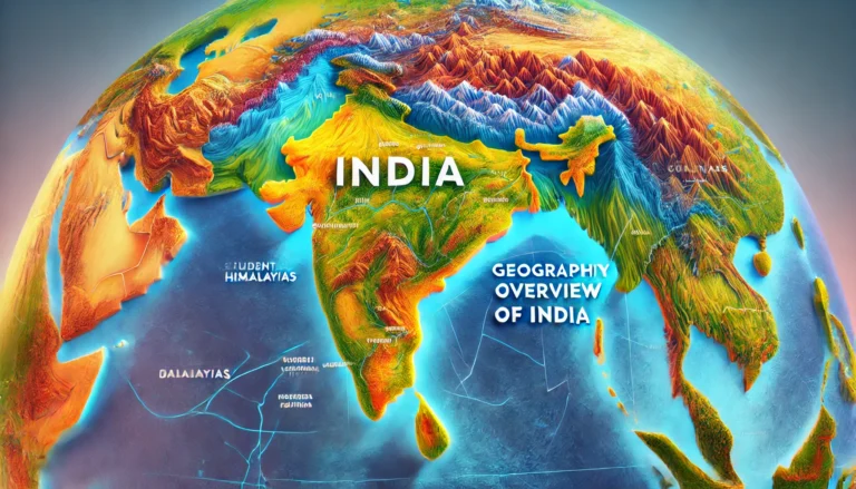
Geological Structure of India : Key Facts for SSC, UPSC & PSC Exams
An In-Depth Analysis for Exam Preparation
India’s geological structure is a fascinating subject that provides insights into the country’s diverse landscapes, natural resources, and tectonic history. For aspirants preparing for competitive exams like SSC, UPSC, and state PSCs, understanding the geological framework of India is crucial. This article delves into the essential aspects of India’s geological structure, highlighting the key facts and concepts relevant for exam preparation.
Introduction to the Geological Structure of India
India’s geological history spans over 4.6 billion years, reflecting a dynamic interplay of tectonic processes, sedimentation, and erosion. The geological structure of India can be broadly categorized into three major units:
- The Peninsular Plateau
- The Himalayas
- The Indo-Gangetic Plains
1. The Peninsular Plateau
The Peninsular Plateau is one of the oldest and most stable landmasses in India. It forms the core of the Indian subcontinent and is characterized by its rugged terrain, rich mineral resources, and ancient rock formations.
Key Features:
- Geological Age: Archean to Proterozoic (3.8 billion to 570 million years old).
- Rock Types: Igneous and metamorphic rocks, such as granites, gneisses, and schists.
- Subdivisions:
- Deccan Plateau: Covers Maharashtra, Karnataka, and Andhra Pradesh; known for its basaltic lava flows.
- Chotanagpur Plateau: Spreads across Jharkhand, Odisha, and West Bengal; rich in minerals like coal, iron ore, and mica.
- Vindhyan Range: Known for sedimentary rocks like sandstone, shale, and limestone.
Significance for Exams:
- Mineral wealth: Coal, iron ore, and mica.
- Important rivers: Narmada, Tapi, and Mahanadi originate here.
2. The Himalayas
The Himalayas, the youngest and tallest mountain range in the world, were formed due to the collision between the Indian Plate and the Eurasian Plate about 50 million years ago.
Key Features:
- Geological Age: Tertiary period (approximately 50 million years old).
- Rock Types: Sedimentary, metamorphic, and igneous rocks.
- Subdivisions:
- The Greater Himalayas (Himadri): Includes peaks like Mount Everest and Kanchenjunga.
- The Lesser Himalayas (Himachal): Known for valleys like Kullu and Kangra.
- The Shivaliks: The outermost range, composed of unconsolidated sediments.
Significance for Exams:
- Important passes: Nathu La, Rohtang Pass, and Zoji La.
- Glacial features: Gangotri and Yamunotri glaciers.
3. The Indo-Gangetic Plains
The Indo-Gangetic Plains are an extensive alluvial plain formed by the deposition of sediments by the Indus, Ganga, and Brahmaputra rivers.
Key Features:
- Geological Age: Quaternary period (recent geological past).
- Rock Types: Alluvial deposits, clay, silt, and sand.
- Subdivisions:
- Western Plains: Indus River basin.
- Central Plains: Ganga River basin.
- Eastern Plains: Brahmaputra River basin.
Significance for Exams:
- Fertile soils: Ideal for agriculture.
- Dense population: Economic and cultural significance.
Geological Regions of India
India’s geological structure is further divided into distinct regions based on tectonic and sedimentary history:
- Archean Rock System: Oldest rocks, found in Karnataka and Jharkhand.
- Dharwar System: Rich in minerals like gold and manganese.
- Vindhyan System: Sandstone and limestone formations; extends across Madhya Pradesh and Uttar Pradesh.
- Gondwana System: Coal-bearing formations found in Jharkhand, Odisha, and Chhattisgarh.
- Deccan Traps: Basaltic formations resulting from volcanic activity during the Cretaceous period.
- Tertiary System: Found in the Himalayan region, associated with petroleum deposits.
Tectonic Framework of India
India’s tectonic framework is defined by its position on the Indian Plate, which is part of the Indo-Australian Plate. The key tectonic features include:
- Indian Shield: Stable continental crust in the Peninsular Plateau.
- Himalayan Orogeny: Result of plate collision.
- Rift Valleys: Narmada and Tapi valleys.
- Subduction Zones: Located along the eastern and western coastal regions.
Economic Significance of India’s Geological Structure
Mineral Resources:
India’s geological diversity makes it rich in mineral resources, including:
- Coal: Found in Gondwana formations.
- Iron Ore: Found in the Dharwar system.
- Petroleum and Natural Gas: Found in Tertiary rocks in Assam and Gujarat.
- Mica and Bauxite: Found in the Peninsular Plateau.
Agricultural Fertility:
The Indo-Gangetic Plains provide fertile soils, supporting extensive agriculture.
Major Geological Events in India’s History
- Formation of the Peninsular Plateau: Around 3.8 billion years ago.
- Drift of the Indian Plate: Around 100 million years ago.
- Collision with the Eurasian Plate: Around 50 million years ago, leading to the rise of the Himalayas.
- Deccan Volcanism: Around 66 million years ago, forming the Deccan Traps.
Geological Maps and Their Importance
Understanding geological maps is crucial for exams. These maps highlight:
- Distribution of rock types.
- Mineral resources.
- Fault lines and rift valleys.
Conclusion
India’s geological structure is a testament to its rich natural history and resource diversity. For exam preparation, focus on understanding the characteristics of each geological region, their economic significance, and the tectonic processes shaping the Indian subcontinent. With this knowledge, aspirants can approach related questions with confidence and clarity.
FAQs for Quick Revision
- What are the major geological divisions of India?
- The Peninsular Plateau, the Himalayas, and the Indo-Gangetic Plains.
- Which is the oldest rock system in India?
- The Archean Rock System.
- What is the significance of the Indo-Gangetic Plains?
- Fertile soils and dense population.
- What caused the formation of the Himalayas?
- The collision between the Indian Plate and the Eurasian Plate.
By mastering these concepts, aspirants can excel in competitive exams and gain a deeper appreciation of India’s geological heritage.

